
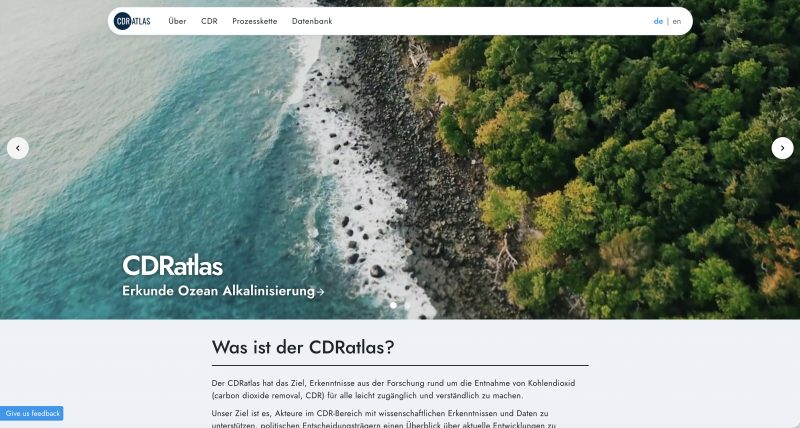
CDRatlas: Guide to CO₂ capture methods at sea and on land
© GEOMAR
How can carbon dioxide be permanently removed from the atmosphere—and under what conditions is this realistically possible? The new CDRatlas is a freely accessible online platform that presents scientifically sound information on methods of CO₂ removal at sea and on land in a clear and comparable manner. It was developed under the direction of the GEOMAR Helmholtz Centre for Ocean Research Kiel and is based in particular on the results of CDRmare and CDRterra.
Why CO₂ removal matters
Some greenhouse gas emissions—such as those from cement and steel production or agriculture—can hardly be completely avoided, even with ambitious climate protection measures. In order to achieve greenhouse gas neutrality and mitigate the consequences of man-made climate change, the removal of CO₂ from the atmosphere will play an important role alongside rapid and significant emissions reductions.
The CDRatlas provides a scientifically sound basis for this and classifies the available methods and the conditions under which they can be used.
Process chains make CDR understandable
At the heart of the platform are detailed process chains for various CO₂ capture methods. They show all the necessary steps—from planning and implementation to monitoring CO₂ storage. Monitoring, reporting, and verification (MRV) are also explained in an understandable way and placed in their respective contexts. Since many processes are still in the testing phase, these process chains were developed in numerous workshops together with experts from science, industry, and practice and geared toward realistic implementation methods.
Maps reveal potential and limitations
Whether a CO₂ capture method can be implemented effectively depends heavily on the location. The CDRatlas therefore relies on map-based visualizations. These show where certain processes are fundamentally possible—and where environmental conditions, existing infrastructure, or legal frameworks impose clear limitations. All information presented is backed up by scientific sources. The CDRatlas itself does not provide raw data, but transparently refers to the respective original sources.
The platform is supplemented by a continuously updated literature database and a newsletter that provides weekly information about new scientific publications.
These CDR methods are already included
To start with, the CDRatlas describes, among other things, increasing the alkalinity of the ocean and reforesting mangroves. Further methods will follow in the course of the year, such as forest reforestation, bioenergy with carbon capture and storage (BECCS), the renaturation of seagrass beds, and macroalgae aquaculture.
Joint scientific project
The CDRatlas is the result of a Germany-wide collaboration between numerous research institutions. Among others, the Helmholtz Centre for Environmental Research, the Leibniz Centre for Tropical Research, Ludwig Maximilian University of Munich, and the Alfred Wegener Institute for Marine and Polar Research are involved, with experts working on the project. The CDRatlas is funded by the Federal Ministry of Education and Research with approximately €1.7 million for the period from March 2024 to February 2027.
CDRatlas: Continuously growing tool
The CDRatlas is continuously being expanded in terms of content and technology. The aim is to realistically classify the possibilities and limitations of CO₂ removal methods and thus support well-founded decisions based on scientific findings.
In this way, the CDRatlas transparently reveals the opportunities offered by CDR—and where risks and unanswered questions exist.